Population density raster
12/2/20241 min read
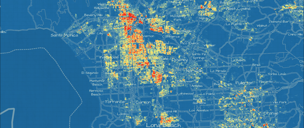
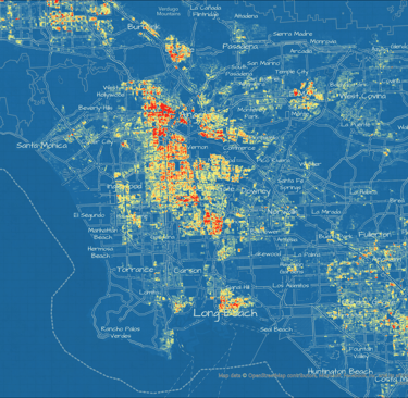
In this GIS project, I created a detailed density map showing where people eligible for Medi-Cal live in California. The data I used was organized by zip code. I used population data from the European Commission Copernicus Programme to distribute the eligible population and create a heat map. This geospatial analysis helped the client identify the best locations for new clinics.