Spatial Analysis: Drive-Time Polygons
9/18/20241 min read
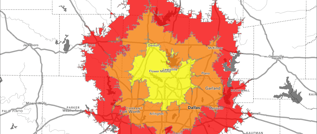
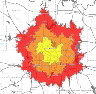
In this project, I assisted the client in conducting a suitability analysis using geospatial analysis tools. We utilized drive-time polygons to evaluate the accessibility of key locations. Additionally, I analyzed property owner data within selected ZIP code polygons, leveraging U.S. county property assessment records.
For presenting the results, I used digital maps and interactive data visualizations on the ArcGIS Online platform, enabling the client to easily explore areas that matched their selected criteria. By combining GIS technology with detailed property data, this project provided a comprehensive perspective to support strategic decision-making for real estate investments and development.